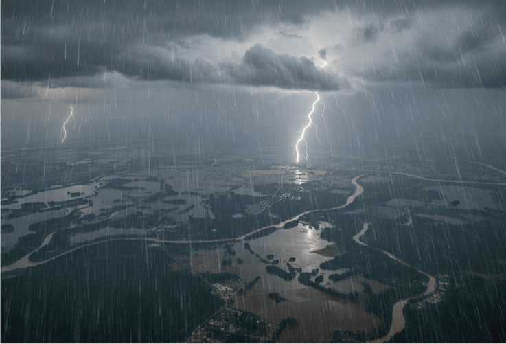
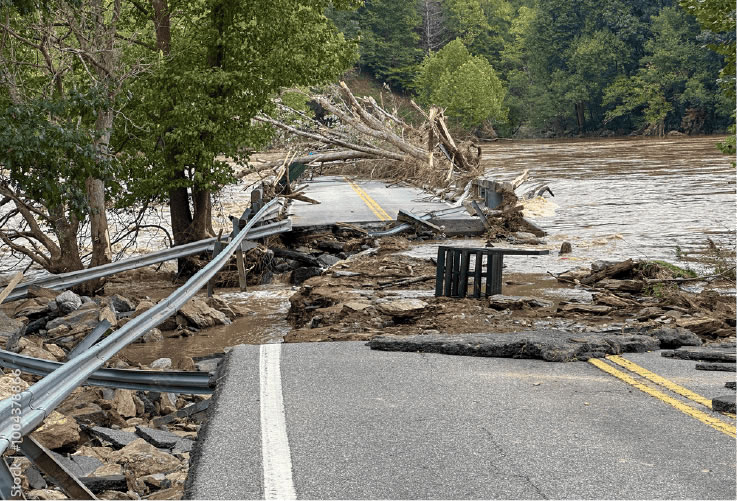
By automatically detecting changes on the earth's surface caused by flooding or landslides in disaster-affected areas, it is possible to understand the extent of damage and prioritize recovery activities.

By leveraging "Disaster Detection AI ",
wide areas can be monitored regularly
through automated analysis of satellite imagery
Space Shift's Disaster Detection AI uses satellite data to automatically detect areas affected by flooding and landslides. By analyzing a designated area, it enables efficient assessment of the extent of flooding and identification of areas where landslides have occurred.
Comprehensive situational awareness of extensive disaster zones in a single view.
Satellites can capture hundreds of kilometers in a single pass. By monitoring areas ranging from individual municipalities to multiple cities at once, you can perform wide-area surveys and regional comparisons with maximum efficiency.
Disaster monitoring unaffected by night-time or severe weather conditions
By utilizing SAR satellite data, which allows for observation even at night or in severe weather, we can detect disaster-affected areas even in situations where on-site inspections or aerial observations are difficult.
Enables assessment of damage even in areas where physical access is impossible.
Disaster conditions can be assessed from satellite data even in inaccessible mountainous regions or areas restricted due to the risk of secondary disasters. These insights are available for prioritizing recovery efforts and conducting post-disaster evaluations.
Feel free to contact us about our Disaster Detection AI.
Leveraging SAR satellite data and AI to automatically detect flooded and landslide areas within specified regions.

Analysis Packages
This service helps assess the scope and scale of disaster impacts in any area covered by satellite observation data.
JPY 990,000 per analysis ~

System Integration
Now Planning...
Seamlessly integrate with your internal systems to automate the delivery of analysis results.
-- / month
The above is under review and subject to change.
Please contact us for individual requests.

Analytics Dashboard
Now Planning...
Instant access to results via your browser.
-- / month
The above is under review and subject to change.
Please contact us for individual requests.

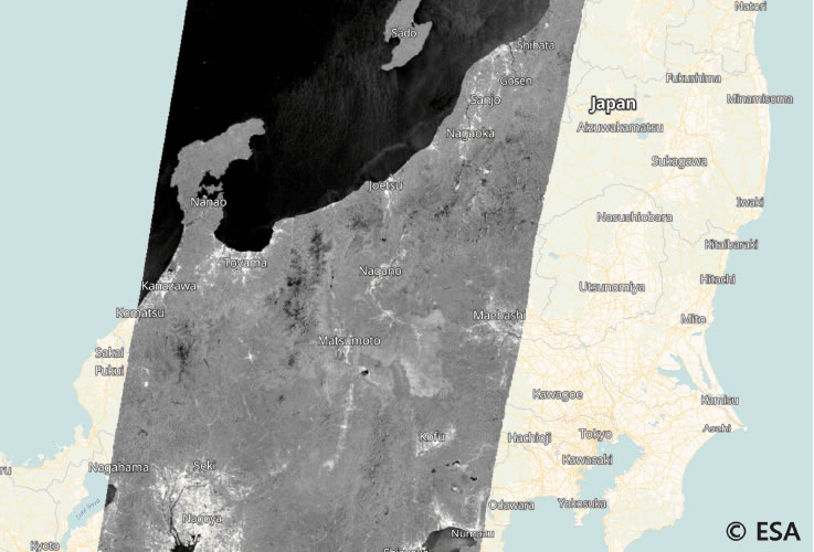
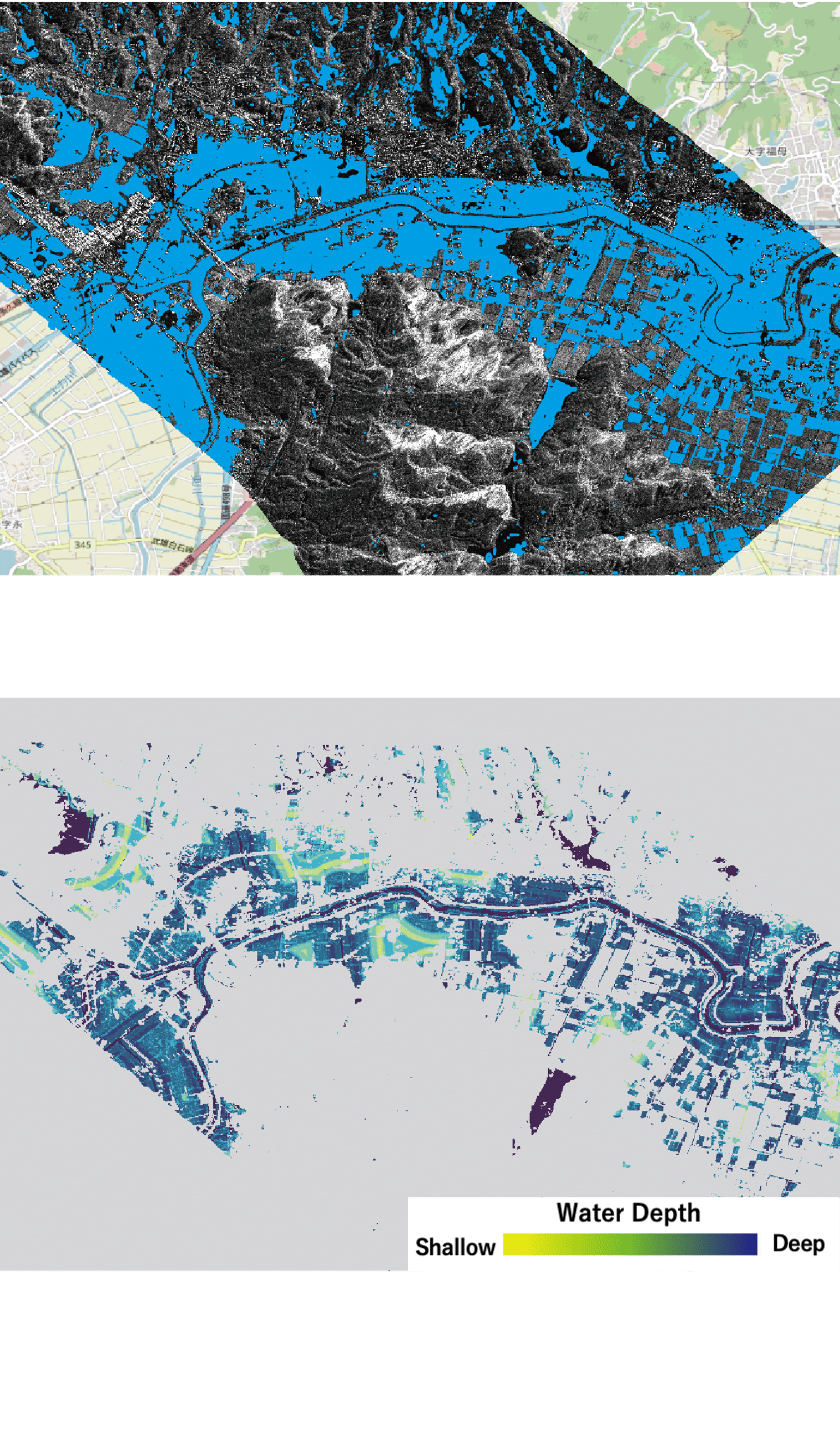
Flood Inundation
Detects flood extent using single-image feature analysis, supporting Capella, ALOS, and Sentinel-1. Optional analysis for inundation depth is also available, leveraging your specific terrain data or open-source topographic data.


Landslide Detection
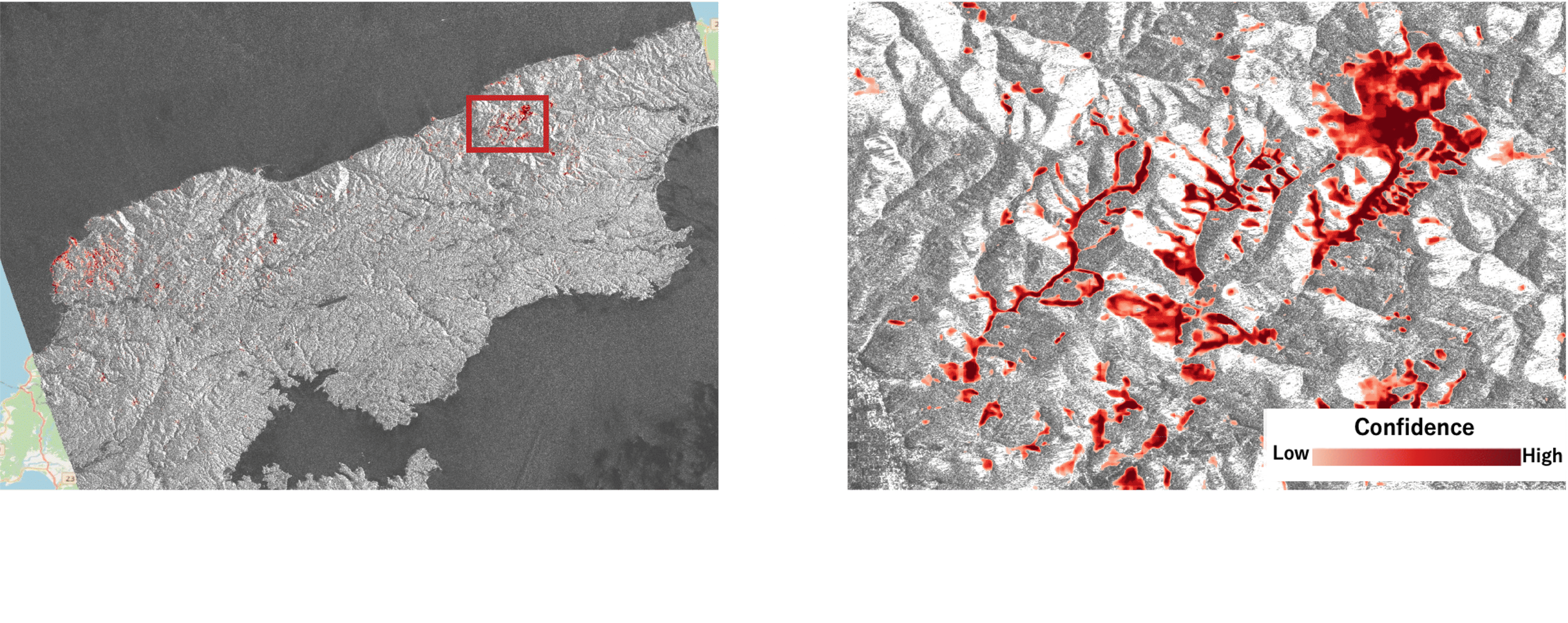
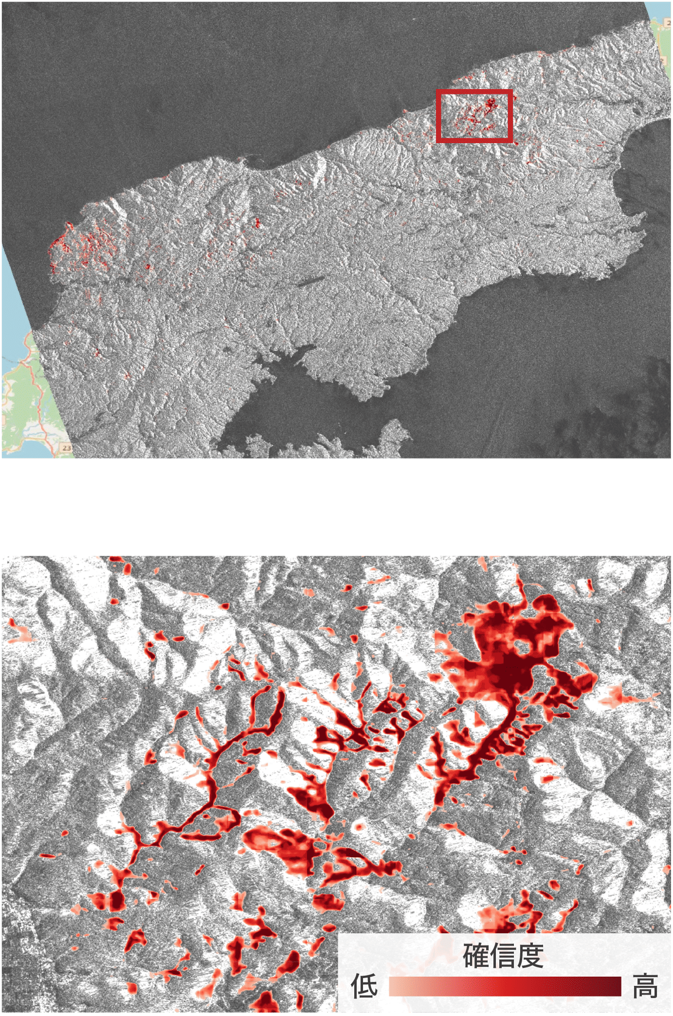
Detects landslide locations by comparing ALOS-2 data from before and after the disaster. We provide the landslide probability (confidence level) estimated by our AI.
If you have any questions regarding the use of our Disaster Detection AI, please feel free to contact us.
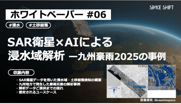
弊社が開発した「災害検知AI」を用いて浸水域および土砂崩落を解析した事例を紹介します。AIを用いたSAR衛星の画像解析による被害状況把握が、今後どのように活用し得るのか、実際の解析結果をもとに解説します。
A A: Generally within 30 days after data acquisition. With our Express Option, we provide analysis results within 1 business day of receiving the data.
A A: We can detect flood extent, inundation depth, and landslide locations.
A A: Analysis is possible anywhere on Earth, provided that satellite data is available for that specific area and timeframe. Before ordering, please feel free to contact us; we can verify whether your area of interest is detectable.
A A: Analysis is performed by either using terrain data (DEM) provided by the client or by our team acquiring the necessary data.
Should you have any questions about utilizing our Disaster Detection AI, please do not hesitate to contact us.