Observes the state on the ground based on
solar light reflected from target objects.

Illuminates radio signals onto the ground and
receives reflected waves to obtain information
on the ground surface to be observed.


Optical satellite
Has onboard optical sensors to take pictures of the ground surface using solar light as the light source, like a typical digital camera. During nighttime, it can only observe the lights in cities. Targets that are covered by clouds cannot be observed even during daytime.


SAR satellite
Has an onboard microwave transmitter to illuminate the ground and a sensor to receive the reflected wave to obtain information on the ground surface.
Regardless of time of day or weather conditions, can observe the ground surface 24 hours a day, 7 days a week.


Optical satellite

SAR satellite

Optical satellite
Being full-color image data, the target object can be intuitively recognized.
Compared to SAR satellites, more frequent observations are made by many satellites. Also, their data has higher spatial resolution.
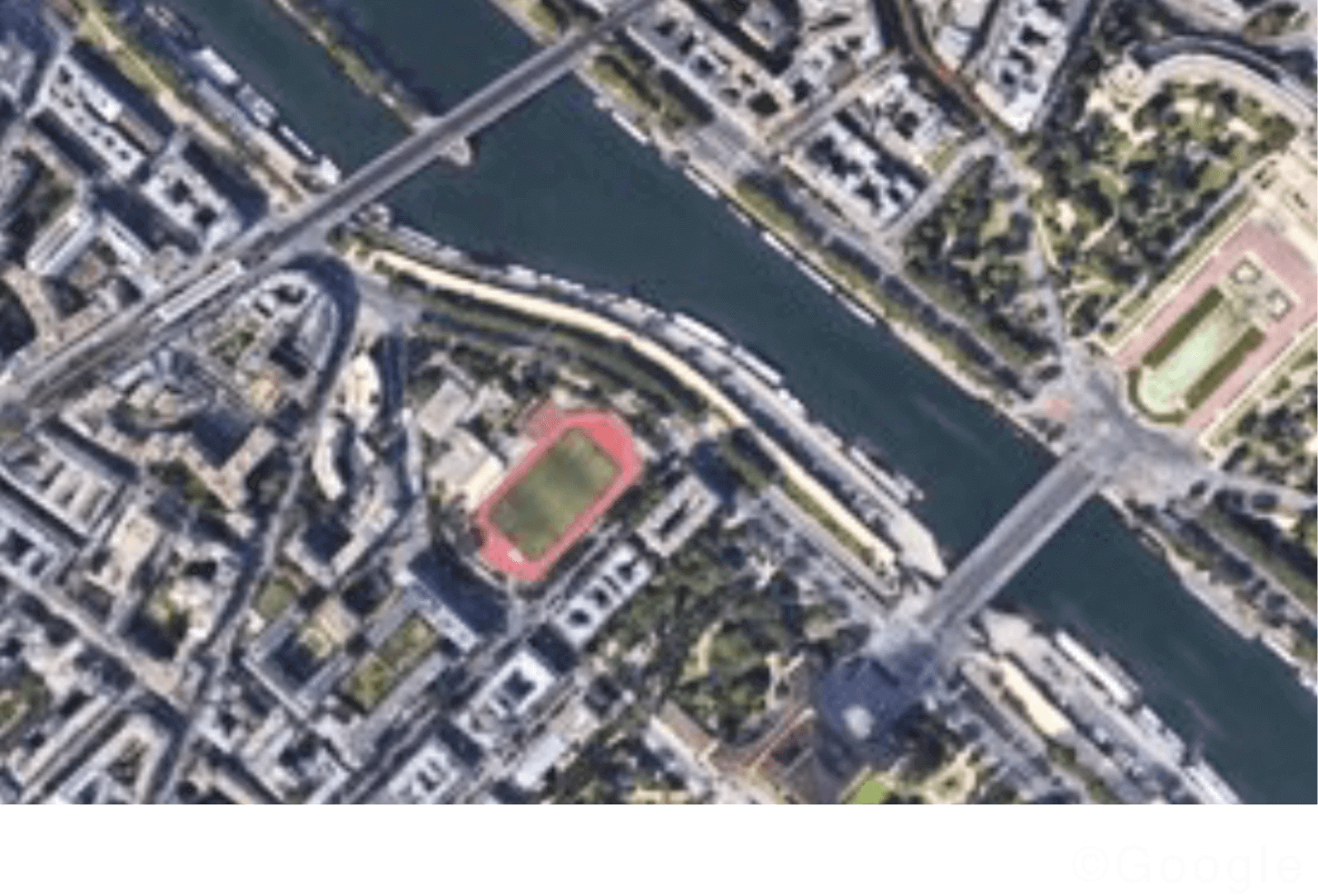

SAR satellite
Being monochromatic, SAR images are difficult for humans to interpret.
On the other hand, as the satellite observes reflected radio waves by emitting the source signals, it can always capture images in the same condition, making it easier to detect changes in the target object compared to optical images, which vary in appearance depending on sunlight conditions.
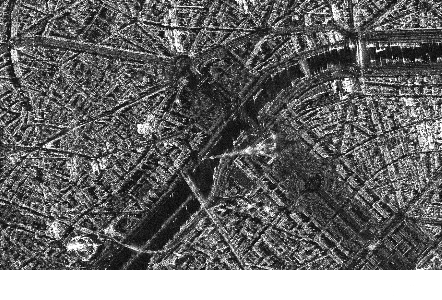

Optical satellite

SAR satellite
Being monochromatic, SAR images are difficult for humans to interpret.
On the other hand, as the satellite observes reflected radio waves by emitting the source signals, it can always capture images in the same condition, making it easier to detect changes in the target object compared to optical images, which vary in appearance depending on sunlight conditions.

Optical satellite
● Color, size, number, form, etc., of the object
● Land coverage condition (wood, farmland, city)
● Plant types and activity

SAR satellite
● Structure and material of target objects
(artifacts/natural objects)
● Existence/change of target objects
● Soil moisture content

Optical satellite
● Color, size, number, form, etc., of the object
● Land coverage condition (wood, farmland, city)
● Plant types and activity

SAR satellite
● Structure and material of target objects (artifacts/natural objects)
● Existence/change of target objects
● Soil moisture content