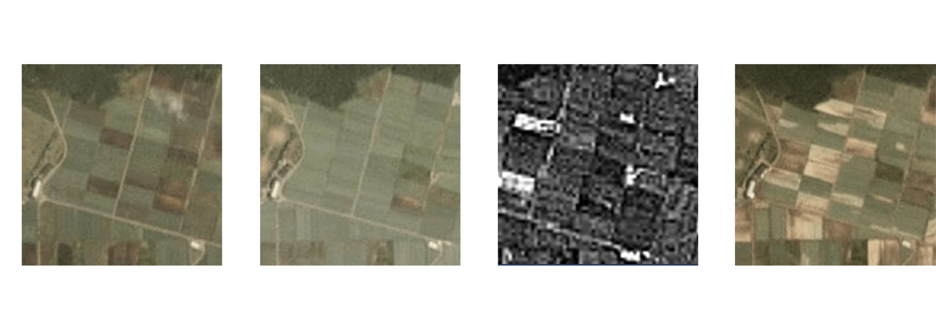
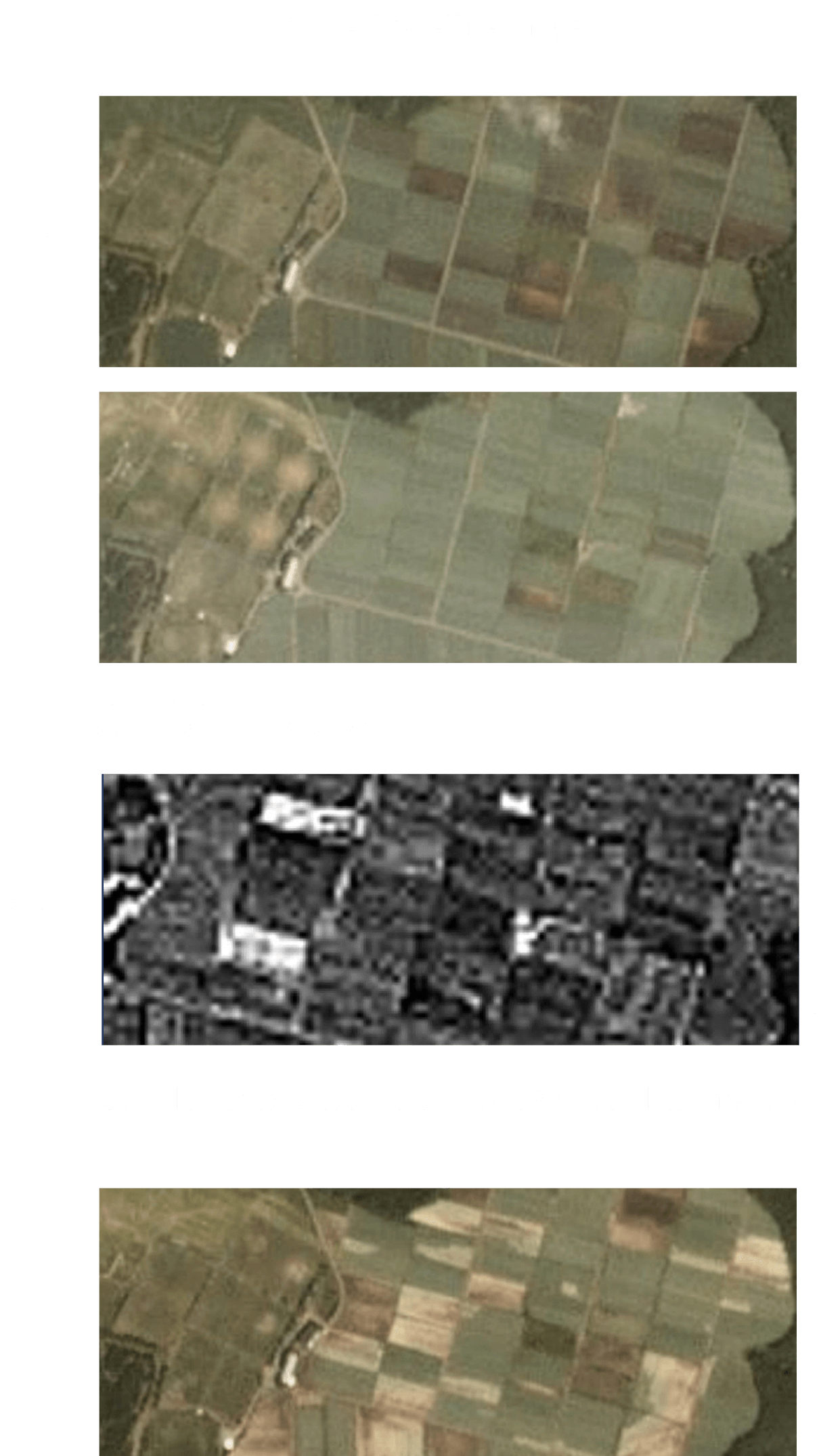
By identifying crop type and visualizing the growth status, estimate the gross production, shipment timing, and so on.
Growth assessment by combination of optical and SAR satellites
As optical satellites can measure NDVI (Normalized Difference Vegetation Index), an indicator of vegetation distribution and degree of activity, supplemental use of SAR satellite image data, available regardless of weather conditions, will enable grasping vegetation growth status during a particular season.
In addition, by using a proprietary Space Shift algorithm, growth status can be assessed from the monochromatic SAR image data that has until now been considered difficult to analyze.


By grasping crop growth and work status through periodical monitoring, optimize the work at farmland and adjust timing of harvesting or seeding based on growth status of other areas.

Producers
By understanding gross production through identifying planted area and predicting timing of shipment based on real-time tracking of the production status, the distribution timing and sales volume of agricultural products can be optimized, thereby contributing to food loss reduction.

Distributors and
retailers
By analyzing satellite data, predict peak timing of distribution for specific agricultural products (i.e., when prices will fall). So, you can set timely advertisements for related products to maximize the media effect and sales amount.

Advertising
By grasping the cultivation status of crops from seeding, germination, growth, and harvesting, collect data on the work progress of small-scale farmers, which can be used for credit management for each farmer.
This credit data can be used to review the farmer's status and to practice financial support (micro-finance) for small-scale farmers.

Financial
Knowing related Technologies